Breeze Technologies’ Environmental Intelligence Cloud now includes satellite-based air quality datasets
Hamburg, Germany. Starting today, Breeze Technologies is making satellite data available through their Environmental Intelligence Cloud, a cloud-based analytics platform that aggregates and analyses air quality data from thousands of sources world-wide. The data comes from the European Space Agency’s Copernicus Atmosphere Modelling Service (CAMS). “Combining the datasets from the European Space Agency with the in-situ measurements from Breeze Technologies’ sensors and the sensors and monitoring stations of our partners, our solution now enables cities, businesses, researchers and NGOs to compare local air pollution levels with regional and global levels, to identify overarching trends, for instance caused by weather and emission events such as wildfires”, says Robert Heinecke, CEO of Breeze Technologies.

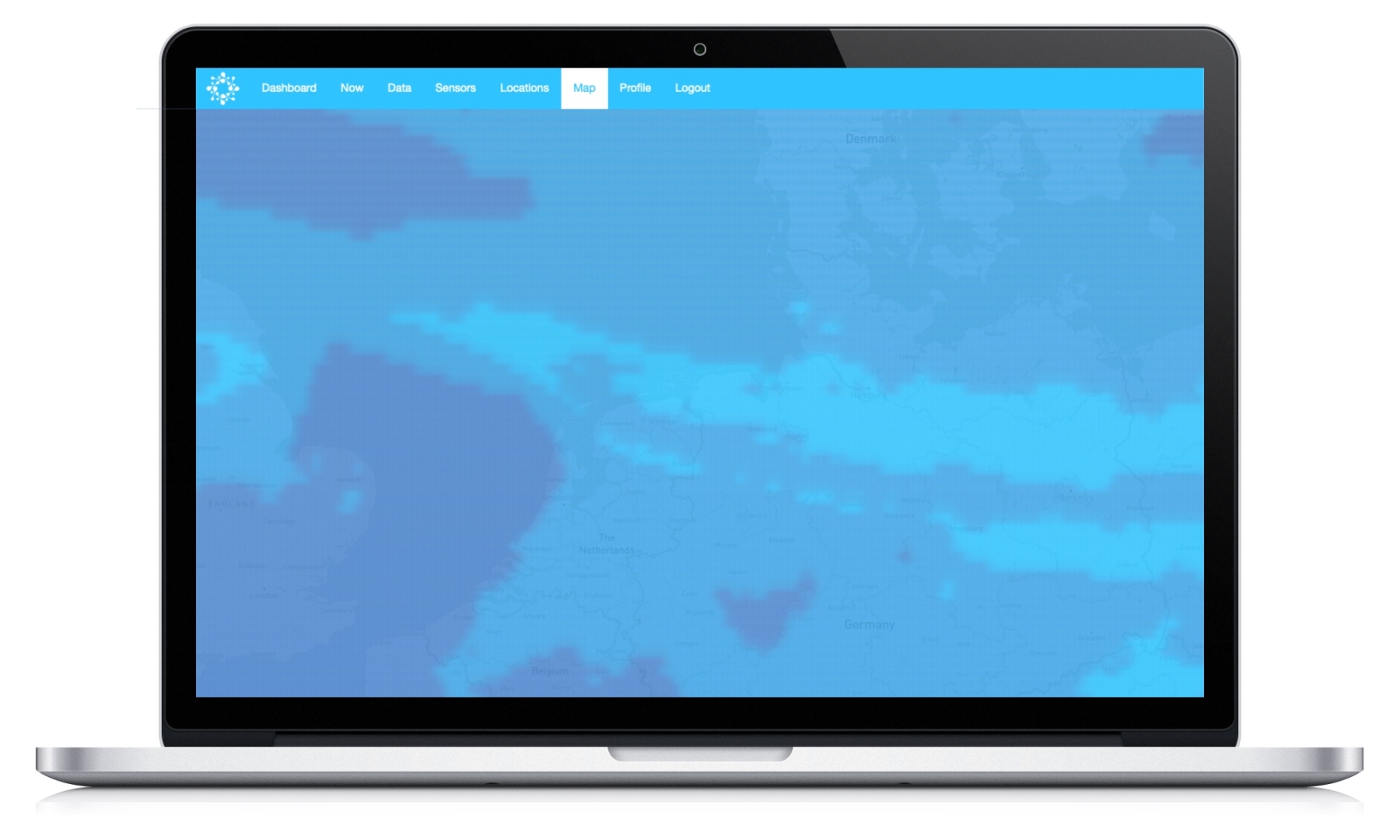
Breeze Technologies’ Environmental Intelligence Cloud now also includes satellite-based air quality data from ESA’s Copernicus Atmosphere Modelling Service. Image: Breeze Technologies
Through the first half of 2021, the startup is offering the data for free to their existing customer base as part of an ongoing beta program. Haris Sefo, Head of Science at Breeze, explains: “Using satellite data to look into regional air quality levels can help smaller cities to get started on air quality monitoring without having to deploy costly infrastructure, or even our lower-cost sensors. This is particularly true for more regional air quality parameters, such as ozone.” CAMS data is generated by a network of satellites as well as in-situ ground or low-altitude measurement systems. This network enables observations of atmospheric composition from the ground level up to 17,000 feet.
Cities and other organisations interested in using the new service can contact Breeze Technologies directly through their website.

 Breeze Technologies
 Unsplash.com
 Unsplash.com / Kimberly Farmer