Get access to near-real-time air quality satellite data from your community through the Environmental Intelligence Cloud

The European Space Agencies’ Copernicus mission provides you with global data on local air quality.

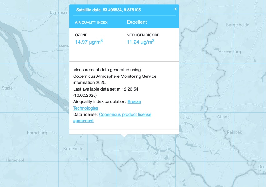
The following air quality parameters are currently available through the Environmental Intelligence Cloud from the Copernicus Sentinel-5P mission, both historic and in near-real-time.

  • Carbon monoxide (CO)
  • Nitrogen dioxide (NO2)
  • Ozone (O3)
  • Sulphur Dioxide (SO2)

The data is refreshed daily when the satellite orbits over your community.

The European Space Agency's Sentinel-5P is the first Copernicus mission dedicated to monitoring our atmosphere. The satellite carries the state-of-the-art Tropomi instrument, collecting near-real-time air quality data.
Through Breeze Technologies' Environmental Intelligence Cloud, you can access historic and near-real-time air quality satellite data.

The Environmental Intelligence Cloud puts the air quality satellite data at your fingertips.

Through the integrated geo information system (GIS), you can explore air quality in and around your city.

Understanding air quality trends has never been so easy.

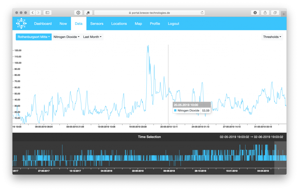
The Environmental Intelligence Cloud makes complex information accessible: Thanks to integrated analytics capabilities and charting functions, you can easily compare air quality satellite data to guidelines and regulations like the World Health Organization’s air quality recommendations, the EU’s Common Air Quality Index or the US EPA’s air quality guidelines.

Breeze Technologies Environmental Analytics Cloud

Start exploring satellite air quality data today!

Reach out to us for more detailed information, a quote or to start exploring immediately.

Note: The Copernicus Trade Marks are owned by the EU. The European Commission is the programme manager of the Copernicus Programme.